Sailing to Slipper Island
Whakahau // Slipper Island
Saltwater Journal is reader supported.
When you buy through our links we may earn an affiliate commission (at no extra cost to you)
Overview
The eastern side of the Coromandel Peninsula is exposed to easterly winds and swell. If you’re sailing north from Tauranga, the island of Whakahau // Slipper becomes an even more attractive place to visit — it offers a hidey hole from offshore weather. Although Slipper Island is privately owned, the excellent fishing and diving in close proximity make this an ideal place to stop for a night, or to indulge in the Slipper Island Resort experience – either way, you’ll love this little sandy beach and idyllic water.
Key information
37.2862° S, 176.2514° E
Anchorage
Very attractive anchorage.
Home Bay has good holding on a sandy bottom.
There are two private moorings in the bay.
Weather
The predominant easterly ocean swell does tend to curl around Slipper but Home Bay is protected in NE to SE winds.
A stern anchor may be used to keep the bow into any swell entering the bay.
Very clear waters.
Access
Private property beyond the high-tide mark.
Public access permitted on the beach area only.
Water & Stores
No public water
No food stores
Cell reception
Full coverage cell Vodafone and Spark
Hike
If you’re a guest of the resort, you can take a number of interesting walks over this volcanic island, and visit historical sites or the lighthouse on the eastern side.
Departing Mt Maunganui on our journey north to Whakahau // Slipper Island
Our Journey
Having already visited Tuhua (Mayor) Island, Slipper was our next island to visit on our coastal sail north of Tauranga. We departed Mt Maunganui an hour before low tide slack — that gave us a good outgoing current boost on our exit from the channel. We set off in an enthusiastic southwest 15knot breeze that shot up to 35knots off Whangamata, with a moderate sea to follow. At some points we were zipping along on a beam reach at close to 7 knots with 2 reefs in the mainsail and only a sliver of genoa flying. Great fun!
It’s almost guaranteed that you’ll cross paths with one of the many cargo ships anchored up and down the coast waiting for entry to the Port of Tauranga (they have over 1300 ships visit each year). Fortunately on this occasion, we snuck past before any of them were on the move. If you do need to call a ship over VHF for any reason, we’ve found MarineTraffic excellent, in addition to the info from an AIS receiver we’d borrowed for our coastal trips. Both of these tools give the name and call sign of the ship so you can make contact.
In the end, with some patches of fickle wind in between the big blows, our 38 nautical mile trip from Pilot Bay, Mt Maunganui to Home Bay, Slipper Island took 7.5hrs.
A Pacific Basic cargo ship waits on anchor for clearance into the Port of Tauranga, with Mayor Island in the distance.
Approaching Rabbit Island from the South with Slipper Island visible just behind
Tara looking forward to arrival — nearly time to drop the main
The Anchorage
We knew Slipper wasn’t ideally suited to SW winds that we were experiencing, but we were keen to stop there and check it out anyway. There is refuge from a SW in the southern end of Slipper at Rabbit Island. However, this island is very small so the swell wraps around it and it has rocky ground. We felt that the sandy bottom of Home Bay would give us better holding and thus a better night sleep if the wind didn’t die down as predicted.
In Home Bay, there’s a 5 knot marker buoy and two private moorings in this small bay, so we anchored in the middle of the bay to ensure we were well away from the rocks on the southern end. In hindsight we could have tucked in closer to these to hide out of the wind more, but as it was blowing 25knots when we arrived, we were more concerned with getting settled safely and avoiding hazards.
NØRD anchored in Home Bay
The History
It’s incredible how much the coastline of Aotearoa has changed over the centuries – at one point (some 18,000 years ago) this 224 hectare island was connected to the mainland of Coromandel. This motu (island) holds eight historical Pā sites, and with evidence of moa bone banks used by early East Polynesian settlers for fish hooks, this special place is considered wahi tapu (sacred) to local iwi – Ngāti Maru Runanga and Ngāti Hei. Since the mid to late 19th Century, the land has been farmed and has changed hands a number of times. The majority of the island is now managed as an off grid eco resort with the rest divided into individual private properties.
In regards to the name “Slipper” – on his second voyage in 1728, Captain Cook thought the silhouette of this island and that of Motuhoa resembled footwear hence the names Slipper, and Shoe. Ironically, he never set foot on either one.
18,000 years ago, Slipper Island was connected to the mainland of the Coromandel
This place feels like a slice of tropical delight
Home Bay beach
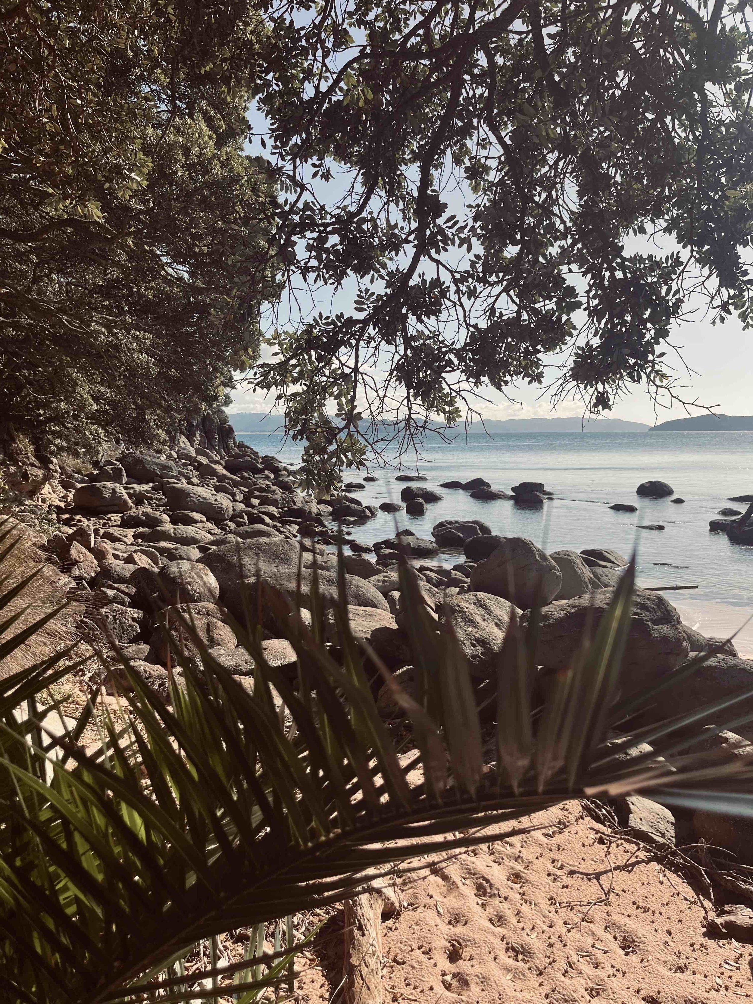
Although Home Bay is fairly small — it’s an absolutely delightful spot to visit. It’s south end has large shady pohutukawa trees with plenty of spots to relax with a book. The white sandy beach has a pink tone due to small pink shell pieces and the rock pools are interesting to explore at low tide. Swimming here is idyllic with a perfect sandy bottom and crystal clear water.
Some simple rules to respect while ashore
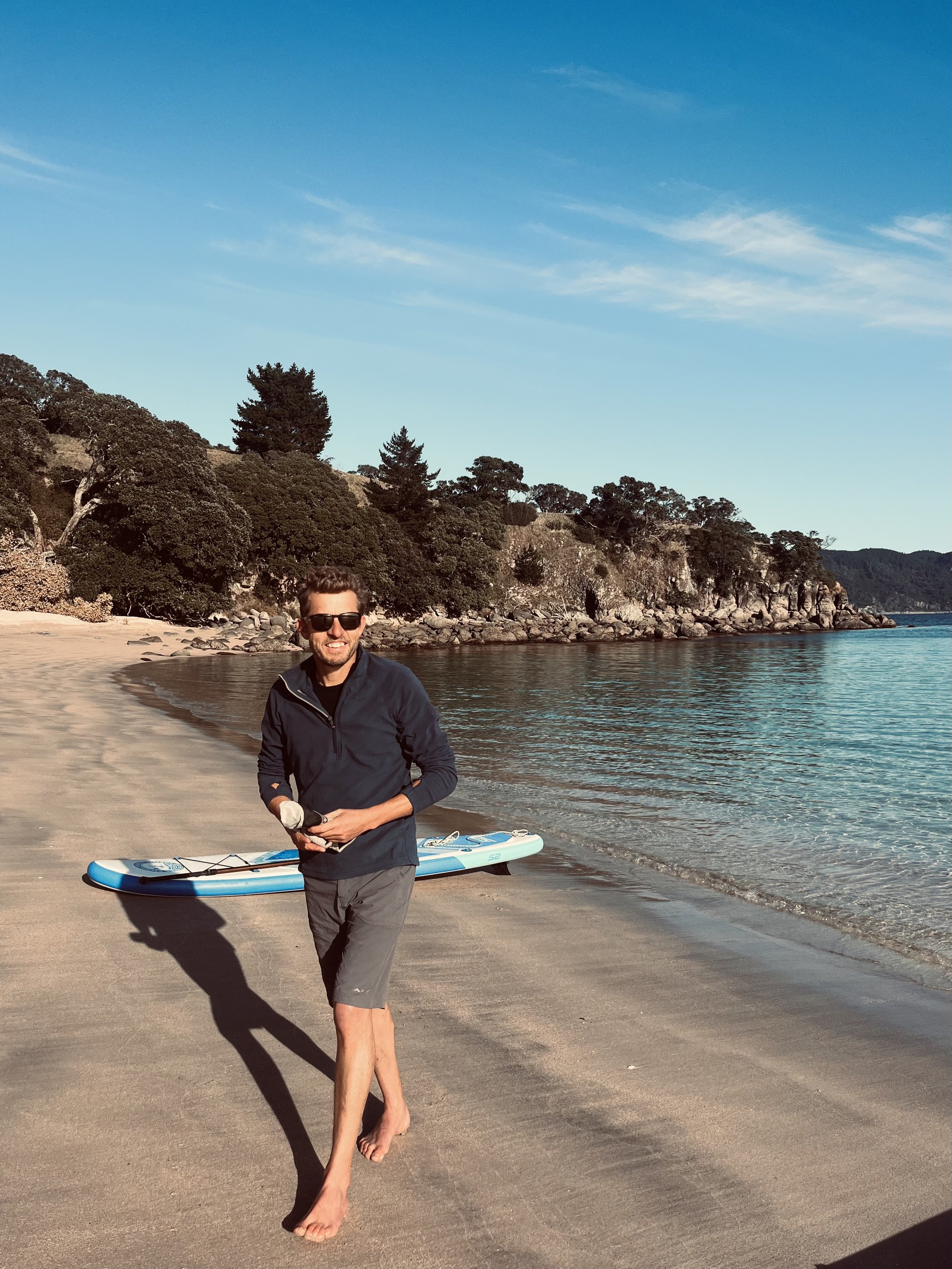
Jeff’s pretty happy about the warm autumn sunshine
Jeff off to explore the rock pools
NØRD anchored in Home Bay (Shoe Island in the distance)
Plenty of snorkelling spots and places for fish to hide
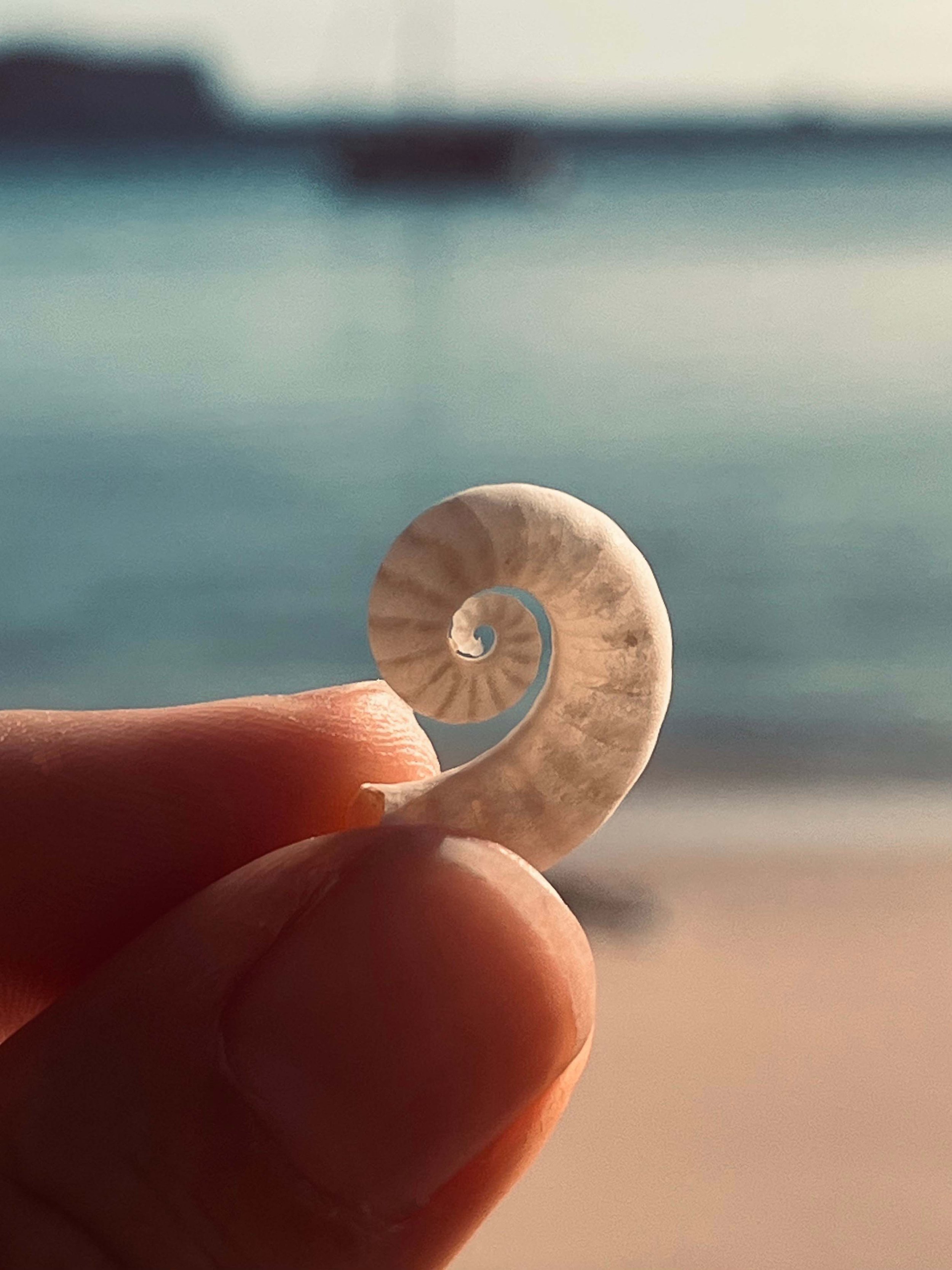
A Ram’s Horn Squid Shell
Hard to resist a dip in this clear water!
Overall
We stayed had two nights here — the first blew SW 25knots dying out, the second was a SE 20knots. We didn’t find the swell too uncomfortable however, we did give the stern anchor a go and this made quite a difference in settling the boat nose on to the swell. It’s also helpful you can see the bottom when laying your anchor and check it’s well dug in!
We rate Home Bay as a great stopover on your way north or south – with a pretty beach and a safe anchorage. The eco resort and glamping also looks attractive and it would be worth staying a night there for the privilege to roam the island and check out some of the vistas and historical sites. It’s also an easy day trip from here to the Aldermen Islands which have exceptional diving.


